An eclipse for lunch and severe storms by dinner? Welcome to Texas weather in April. That appears to be on the agenda...
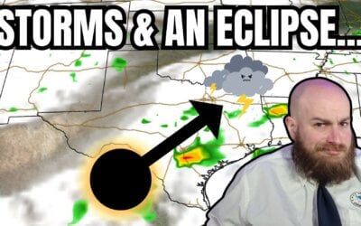

An eclipse for lunch and severe storms by dinner? Welcome to Texas weather in April. That appears to be on the agenda...
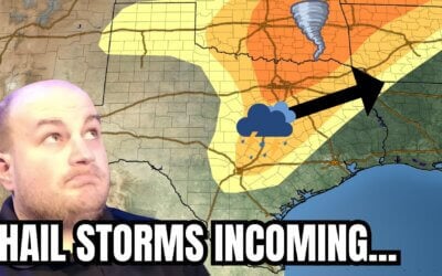
https://youtu.be/4F1q4r6gfh0 Parts of Texas will start April off with a literal bang—with the possibility of severe...
The potential for several intense supercell storms this afternoon and evening has increased in Texoma and North Texas...
The weather across Texas will not be particularly pleasant for Super Bowl weekend. Rain is likely across the Edwards...
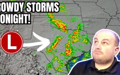
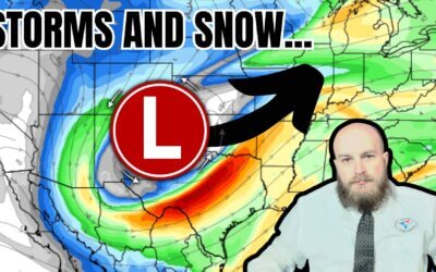
Spring-like weather this week will translate into spring-like thunderstorms tonight in Texas. A quick-hitting...
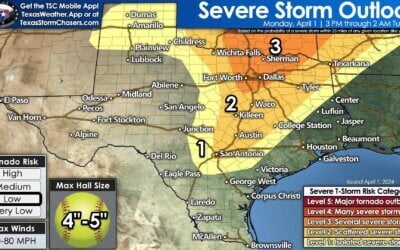
No significant changes to the severe weather outlook for later today. We still expect storms to get going between 12...
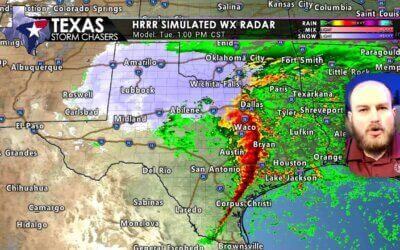
A complex and messy thunderstorm forecast is in-store for Texas over the upcoming two days. We won't be dealing with a...
Today's weather hazards will include potentially catastrophic wildfire danger, high winds, and the threat of scattered...
We're back in a severe weather risk for the fourth or fifth Monday in a row. I do dislike Mother Nature when she gets...
The stage is set for an active afternoon, evening, and night of severe weather across the eastern half of Texas. I...
Severe thunderstorms are likely on Monday and Monday night in several regions of Texas. Compared to yesterday's...
It's been a busy October in the severe thunderstorm department with multiple episodes of nocturnal squall lines. We've...
Another nocturnal and morning severe weather threat is looming as an intense upper-level storm system arrives Tuesday...
A night-time severe weather event is expected across Texoma and North Texas tonight. The chance for severe...
Here is the new severe weather outlook for Sunday evening through Monday morning. We're expecting a nocturnal severe...
Another round of strong to severe storms will impact parts of the southern panhandle and rolling plains of western...
Showers and thunderstorms ongoing this morning across the Big Country, North Texas, and Texoma should weaken through...
Rain and severe weather chances increase today and tomorrow across parts of the state. Let's begin with today's...
Yesterday's severe weather outbreak brought numerous reports of large hail, damaging wind gusts, and a few tornadoes...
An impactful day so far with multiple tornado warnings and flash flooding across parts of Texas. The threat for brief...