

The Texas Panhandle is going to have some interesting weather today. First off, lets start off with the snow chances. The chance of accumulating snowfall will be highest in the far northwestern Texas Panhandle by late morning into this afternoon. One to three inches of snow will be possible. A rain/snow mix is possible across the western and northwestern sections of the Panhandle, but little in the way of accumulation are expected. Not far southeast of that rain/snow line, thunderstorms will be possible across the southern Texas Panhandle. Some of those storms may contain small hail. This wacky weather is all in part due to a southward advancing cold front in conjunction with a developing area of surface low pressure.
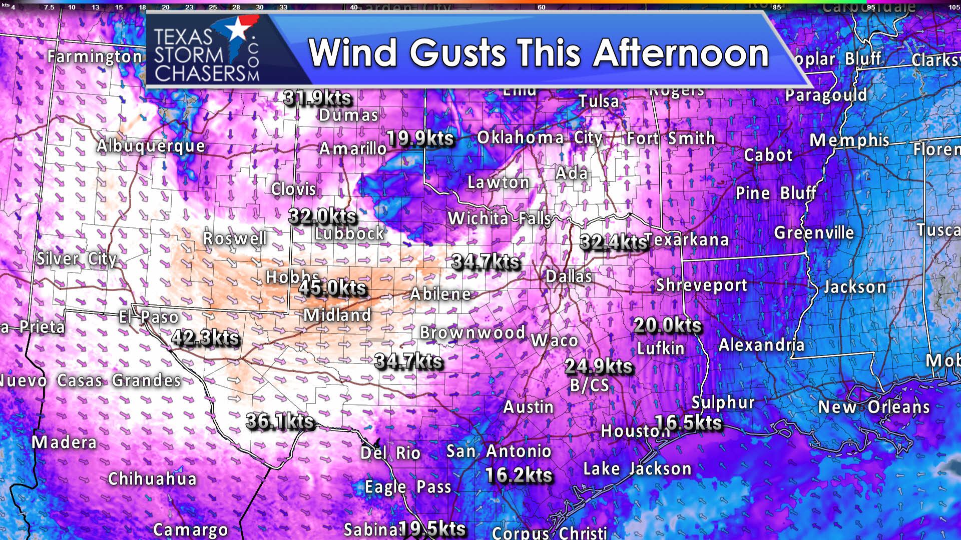
With the strong upper level energy and increasing pressure gradient, we expect gusty winds today. The northern half of Texas into the Permain Basin and Borderland will experience wind gusts of 40 to 50 MPH this afternoon. Portions of the western Permian Basin and Trans-Pecos may experience wind gusts over 60 MPH this afternoon. Precipitation chances, for the most part, will be limited to the Texas Panhandle. Fire danger will be high to critical in those regions.
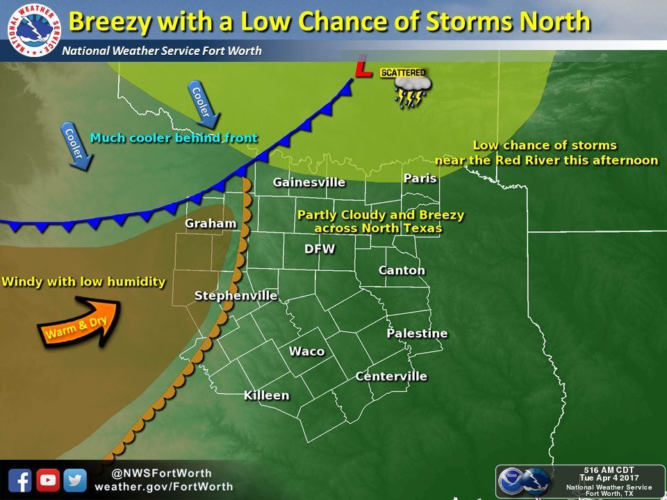
Later today a dryline will surge east into North Texas as a surface low pushes northeast into Oklahoma. The enviornment ahead of this dryline should remain capped south of the Red River. There is a low-end chance of showers or thunderstorms. Should a storm break the cap, it would have the potential of being strong. The chance of the cap breaking south of the Red River is low. In all likelihood, we’d have a slightly higher chance of showers. Temperatures behind the cold front in the coming days will be cooler.


0 Comments