
Light to locally moderate rain will continue tonight into Tuesday afternoon across the southern half of Texas. Rains should not be heavy enough to cause widespread flooding, but given antecedent soil conditions, any rain that falls could result in river rises.
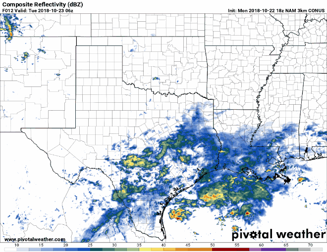
Simulated weather model radar from Tuesday morning through Thursday morning
Moisture from Major Hurricane Willa will result in widespread rain chances beginning tomorrow night across the Borderland and western Texas. We’re not expecting too many thunderstorms, but do anticipate a relatively large rain shield that could extend all the way from Mexico north to Kansas.
That large rain-shield will make relatively fast progress from west to east across all of Texas on Wednesday and Wednesday Night. Unlike our last few systems, this is not expected to be a multi-day event. Most rains should be exiting Texas to the east by Thursday morning. Severe thunderstorms are not expected.
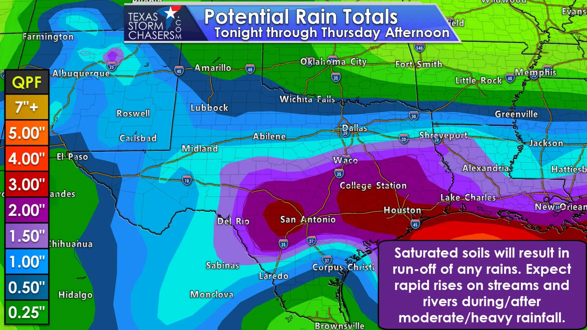
Widespread rain totals through Thursday are expected to be in the 1 to 3-inch range across the Concho Valley, Central Texas, the Brazos Valley, East Texas, and Southeast Texas. Localized rain totals may exceed 4 inches. Rain totals across the Borderland into West Texas, North Texas, and Northeast Texas are forecast to range from one-half inch to one and a half inches. The lightest rain totals (of a track up to one-half inch) are expected to be in the Texas Panhandle and in the Rio Grande Valley.

Saturated soils and multiple river basins in flood will not react well to these new rains. As demonstrated last week any new rains that fall will quickly run-off and result in fast rises on streams and rivers. Additional rises on the Colorado, Brazos, and Trinity basins may occur. This will stress the already well-filled flood pools.
Rains will move out quickly on Thursday from west to east. The current model guidance indicates we should see a drier stretch of weather beginning Thursday night continuing for several days. Our next stronger cold front may arrive around October 31.


0 Comments